- Client
- Wildlife Conservation Society (WCS)
- Sector
- Conservation NGO
- Location
- Central Africa
- Year
- 2024
Turning raw camera-trap video into analysis-ready data with AI
We cleaned, identified and measured WCS camera-trap video from Central Africa, so its team could move straight to estimating wildlife density.
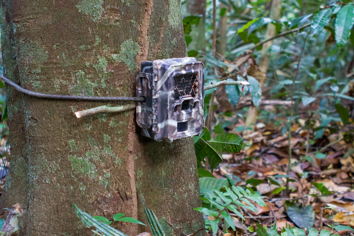
Camera traps generate thousands of videos that need processing. © iStock
3
stage workflow: review, process, verify
Every 2 s
distance measured through each video
100%
of AI labels checked by ecologists
The challenge
WCS had a large archive of camera-trap video from Central Africa. Metadata was inconsistent, with missing dates and coordinates and incorrect timestamps. Every clip still needed a species label and, for density estimation, a measure of how far each animal was from the camera. Doing this by hand would have taken months.
What we did
We gave every camera a unique ID, corrected dates and removed records that could not be used. Videos were trimmed to the motion, run through MegaDetector and then through our Central African species model. Every AI label was then checked by our ecologists. For distance, we used each camera's calibration video to fit a model linking an animal's position in the frame to its distance, measured every two seconds.
The outcome
WCS received analysis-ready files of species identifications and distances, synced to NatureCube, where they sit alongside the original videos for checking. The data can go straight into camera-trap distance sampling to estimate wildlife density, with a documented, repeatable workflow behind every record.